The last time I rode the Cherry Creek Trail I saw several projects underway. I decided to ride the Cherry Creek again so see what's new. The whole trip from the County Line RTD Station to the confluence with the Platte river is about 35 miles. A fun ride with some great new features.
Last time I took the light rail all the way South to Lincoln and rode East on Lincoln to catch the Cherry Creek Trail in Parker. The only problem with that was there was no sidewalk for bikes or pedestrians so in some places I rode on the shoulder of oncoming traffic. Not fun or safe.
This time I took the same light rail but instead of Lincoln I got off one stop before, at County Line Station. I took the elevator down to street level then down a ramp to the Park Meadows Mall.


 Some downright pretty scenes.


Here's a trail cam. it takes pictures of critters that wander past at night.


It was a weekend so I went on through. Here's an open gate.


 Then along the road for a tenth of a mile or so.


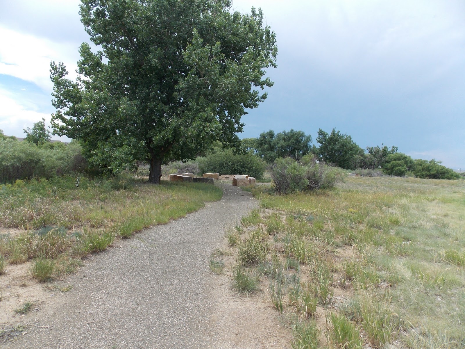
 I visited my tree friends at Kennedy Ball Park.
 They are all doing really well. You worry about your tree friends during an extreme drought. At least I do.
 After the park down the hill to Havana.
 I checked out Hampden Heights Park. Pretty nice. The trail is a big loop that reconnects with the Cherry Creek Trail a little farther North.
Here's some pictures..


 This is where the Highline Canal Trail and the Cherry Creek trail cross. I was just here last week on the Highline Canal Trail.
 Cherry Creek.
 Coyotes could eat you at any moment.
 Entering Denver, not long now.
 A new section of trail, you no longer take the bridge that goes by the school, you go straight.
 The new section goes on the West side of the Creek. The old path (still there) is on the East side.
 Short detour..
 Ooh, here's why, a new bridge. Opening soon I would think.
 Four Mile Park, historical because it was the last stage coach stop before Denver.
 Going under Colorado.
 Our sister city of Karmiel Park.
 The tunnel under University Avenue.
 Then you cruise along University for a couple blocks.
 Following the trail you turn left on 1st avenue and go about a half mile.
 Then you descend into the concrete canyons of Denver.
 You want to make sure you're not here during a heavy rain. This can get neck deep on the trail during a significant rainstorm. No way climb out.
 Man and his Dog.
 Crossing under Colfax.
 Under the railroad bridges, almost to the end now.
 I saw a Bird.
 He looked at me.
 There it is, the confluence with the Platte.
 The water course at Confluence Park.
 There's the last you'll see of Cherry Creek, the water molecules representing Cherry Creek now represent the South Platte River.
 REI building, formerly Forney Transportation Museum, before that a trolley barn.
 The Trolley was running today. YAY!

 Well, that's it for Cherry Creek. Thirty five miles from the County Line Station to the Platte. At least the way I rode. You could take many routes through Cherry Creek State Park. I took the fastest.
Yes folks, another 4 star ride, I really enjoyed the jaunt off the main trail to explore Hampden Heights Park.
Last time I took the light rail all the way South to Lincoln and rode East on Lincoln to catch the Cherry Creek Trail in Parker. The only problem with that was there was no sidewalk for bikes or pedestrians so in some places I rode on the shoulder of oncoming traffic. Not fun or safe.
This time I took the same light rail but instead of Lincoln I got off one stop before, at County Line Station. I took the elevator down to street level then down a ramp to the Park Meadows Mall.

Go to the left of Nordstrom eventually past Best Buy and down the hill out of the mall to Yosemite. Then turn left and there's the C-470 Trail. That's Petco visible on the far right behind the white truck.

There it is.

So after all that you get back to where you got off the train 10 minutes ago.

You go under I-25 and now you're on the E-470 Trail. The difference between C-470 and E-470 is C is free, E is a toll road. One ends where the other begins. The bike path is still free though.

The E-470 Trail is not bad but you're right next to traffic. This segment doesn't last long.

The E-470 Trail. A lot of ups and downs for a guy who's used to riding canals and rivers.

Up ahead on the left you can see the old toll booths. They are now obsolete.

The way it works now you can pay one of two ways. Either buy and load a transponder that will pay automatically or camera will get you licence number and you'll get a bill in the mail. You get a better rate if you buy the pre loaded transponders so if this is on your daily commute that's the way you go.

Nice day for a ride, cloudy with rain in the forecast. Not a drop on me though.

There's a little spur trail on the left. It goes under E-470. I went to check it out.

I was sitting in the shade under the freeway when in swooped a big bird. At first he landed on the girder on the right and I could just barely see his legs but I figured it was an Owl. I didn't move. Then he flew to where you see him now. My auto electronic camera couldn't get a good focus because of the contrast between shade and bright light. This is the best I could get.

Then I caught a break. He flew to the other overpass and both he and I would be in the shade if I could get close enough. I walked slowly until I was in the shade of the second overpass. I focused and shot. Not bad.

I'll tell you my Owl story. I used to live on the Big Island of Hawaii. A dot on the map known as Opihikao in the heart of the Puna district. Opihikao has nothing except a church at the foot of a road down a valley leading from state highway 130 near Pahoa to the ocean, or more precisely, Red Cinder Road which connects Kapoho* and Kalapana*. At the junction there's one church. I stay one mile Mauka from there.
* Interestingly enough both cities were destroyed by Madame Pele.
So if you were to consult Google maps you'd see it's mostly jungle and Papaya orchards. So anyway Driving home at night down the long winding road the local Pueo (what Owls are called in Hawaii) used to fly above my car knowing it would cause critters to scatter and more than once a Pueo dove maybe 50 feet in front of the car to make a strike and then off into the night. It was a wonder to behold. Always startling. Always amazing.
They'd learned how to use the human automobile to their advantage. YAY Owls!
OK, my other amazing Opihikao story is this: Once on an early morning walk there was a small bay next to the Church. I was looking out at the water and I was thinking "it must be a low tide, I've never seen those rocks out there" and as I was looking a noticed a big eye watching me. It was a mother and calf Humpback Whale and they were maybe 60 feet off shore. That was a moment I'll never forget.
OK, back to Colorado. There's some Prairie Dogs. Not unlike the Mongoose in general description.

We are almost to the Cherry Creek Trail.

At Jordan there is a Loaf & Jug near the trail. Air, water, snacks?

See that line of trees up ahead? That is Cherry Creek.

Turn right to go to Parker and ultimately Castlewood Canyon State Park. Turn left to go to Denver.

Ah Hah! This is the infamous line between Cherry Creek South and Cherry Creek North. We are going to ride every inch of Cherry Creek North.

We go under the E-470 overpass.

Past the Preble's meadow Jumping Mouse protected habitat.

Through the former Horse pasture now Condos.

Through Cottonwood Park.
 Some downright pretty scenes.
Major parks along here.

I stopped at my usual spot for lunch. Secluded singletrack.

There was a multitude of Birds.

Crossing over Cherry Creek.

There are little spur trails that lead to shaded picnic tables. There's one.

OK, this is the section of Cherry Creek that has been terraformed to become more natural.

Looking upstream at the point where river restoration began. Upstream is unimproved.

Looking downstream it looks like they totally succeeded. It looks like a natural stream with a healthy riparian zone.

Here's a few more pics.
If you found a stream in a mountain meadow it would look like this. What a great job!


There are some new trail amenities, I had to explore.

First was the amphitheater. I followed the signs but there was nothing. There was a kind of natural amphitheater but Cherry Creek flowed through the middle of it. So words on a sign do not make it so. Nice try Parker Jordan Centennial. Perhaps there is more to come.
Then I saw this sign on this fake tree stump. Yes the Center Of Wisdom does exist. YAY!

There were four large stones placed North, South, East & West.
West was Fall, Parents & Water

North was Winter, Elders and Air.

East is Spring, Children & Fire

South is Summer, Youth & Earth.

It's pretty nice really. I'm surprised Parker Jordan and Centennial is so Zen.

There's even a Zen rock garden.

Then I visited the alleged Sand Point. I followed the trail to a large rock stepping stone sort of trail on which I had to carry my bike and there was no Sand Point.

After picking my way across the stones there is this bench on a concrete slab. I saw no sand.

This was way cool a touch screen information kiosk.
There was a short detour.


At the other end there's a slot I got through. The reason for the closure is more terraforming of Cherry Creek.

Here's a couple shots. Beige mats sprout grasses suitable for riparian landscape.


Some sort of Stonehenge replica. Not as ancient though.
Looks natural but it's terraformed. Good job whatever entity improved the creek! Bravo!

This trail is not open just yet.

New trail snakes through the wilds.

Until it ends abruptly. Not even a quarter mile. More to come.

There were big machines clearing a large area, Perhaps a new park? Sure hope so.

Another look at that terraformed waterfall.

Into the valley of the big box stores.

Warning: Walkway may flood float and break away.

When flooded turn around, don't drown.

Then this trail ended too. Not to worry, the power sub station ahead marks the trail on the other side of Arapahoe

Here's a shot looking back once I was across Arapahoe. The trail ended just beyond the white fence.

Here's the trail again. Go up the hill, not down. Skirt along the fence then turn right on Jordan Road.

The sky looked like Swiss cheese.

There's the sign for Cherry Creek State Park.

There's the entrance to CCSP.

Bikes yield to everything.

I took the first trail to the right.

Then over a bridge and left on the first dirt trail.

This is the entrance to the off leash park. Dogs get leashed or unleashed here depending on which way they're going.

Using this route you will encounter dogs but I've never met a bad dog.

I saw some horses.

Gravel trail leading from the Dog Park.

Then an old asphalt trail.
 Then along the road for a tenth of a mile or so.
Then I saw a path just to the left of the road. I cut over to that.

It changed to old asphalt after a while.

There's the dam and the tops of buildings in the distance.

The bike path less traveled.

It's got a few bumps and bruises but I still love the old trail.

Soon enough old merges with new and the trail is smooth.

I saw a bird.

Cherry Creek State Park swim beach...


Idyllic curvy trail for bikes.

Patched up a little.

That building peeking over the hill represents Parker Road

This sign welcomes visitors to CCSP. We're on our way out.

You come out on Parker Road. Not for long though.

Now we're on the other side of the dam. Soon to be big downhill. The RTD Nine Mile Light Rail station is in the distance.

At the base of the dam Cherry Creek continues. There were people fishing there.


Here's some pictures..


Yes folks, another 4 star ride, I really enjoyed the jaunt off the main trail to explore Hampden Heights Park.
1 comment:
I totally LOVE your blog, I just wish it was a little bit easier to navigate. Any way I could convince you to add a label to each post with the name of the trail you're riding, and then put a labels list out to the right or something so it would be easy to find all of your posts on each trail? Pretty please? :-)
The other thing that would be really cool would be if you posted a map of each trip at the beginning of the post so we could easily figure out where you went.
Sorry, I don't mean to come across as critical or anything, because I really LOVE your blog and think it's full of wonderful valuable info. Just my "wish list" ...
Thanks & Happy Trails!
-Cat
p.s. You don't need to publish this comment, I just couldn't figure out any other way to reach you.
Post a Comment