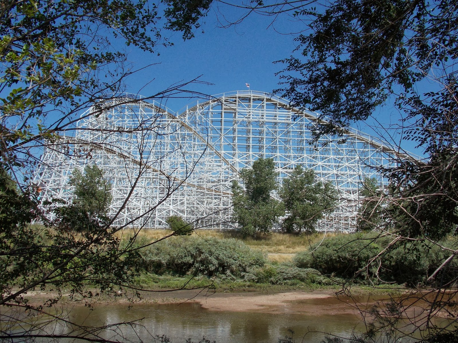
OK, I jumped on the Platte River trail near Alameda. Here's the big silver dog outside the animal shelter.

The French named this river. Plattte means flat.


Paddle boats


They lowered the river by 16 feet to alleviate flooding.


The high security sewage treatment plant. Razor wire and cameras galore.


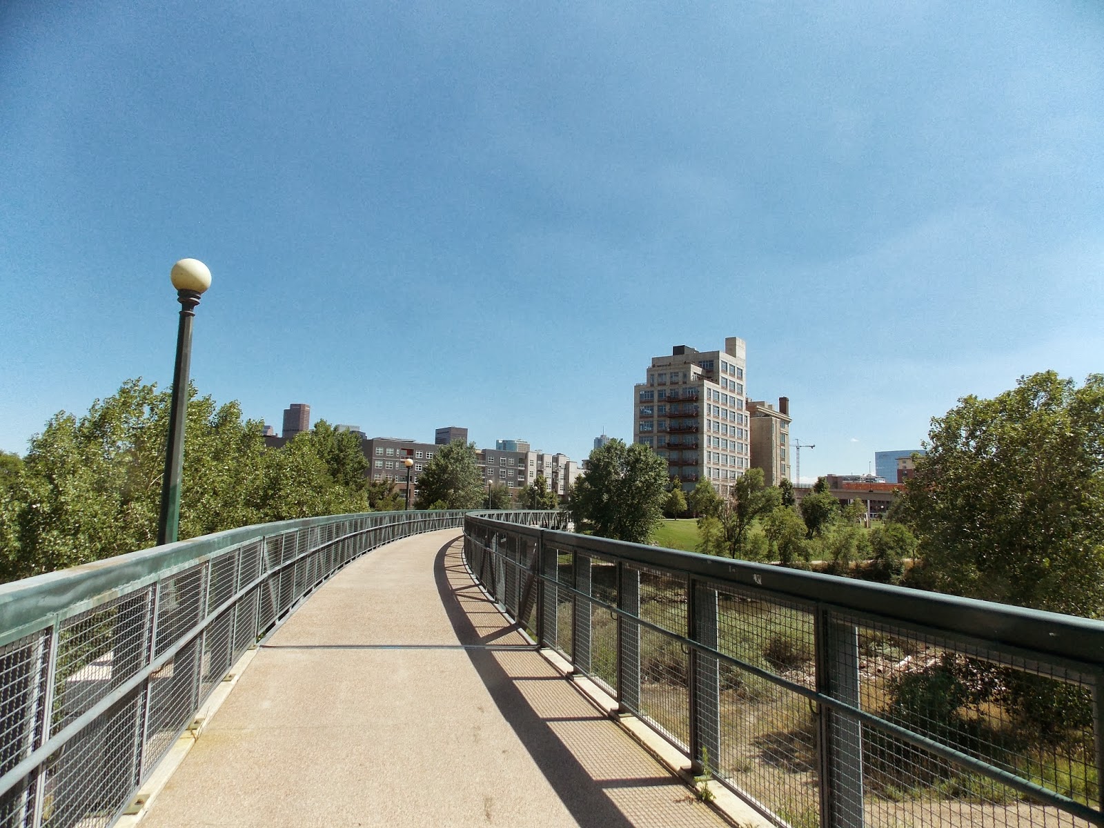
Cruising along the Platte.

Sand Creek entering the Platte, still polluted with benzene. The cities of Aurora and Thornton use the Platte for drinking water downstream from here. Not to mention everyone else downstream. Denver's drinking water comes from snowfall but ends up in the Platte. Just upstream from here. So as a Denver resident I can tell Aurora and Thornton to drink my fully treated but benzene tainted pee.

More Birds

BIRD!

Not long after Sand Creek you come to Clear Creek. Turn left.

Irrigation canals.
Headgate


all canals full.

Off it goes.


head gate from the other side.
lots and lots of run off

Smokey's Barbque


Just past Smokey's keep going straight for Clear Creek, turn right for Little Dry Creek

This is where the trail had been closed. It's open now. Mystery bridge abutment is complete. My theory is that it's for the light rail through Arvada, which we are near.
 Little trickle usually, brimming right now.
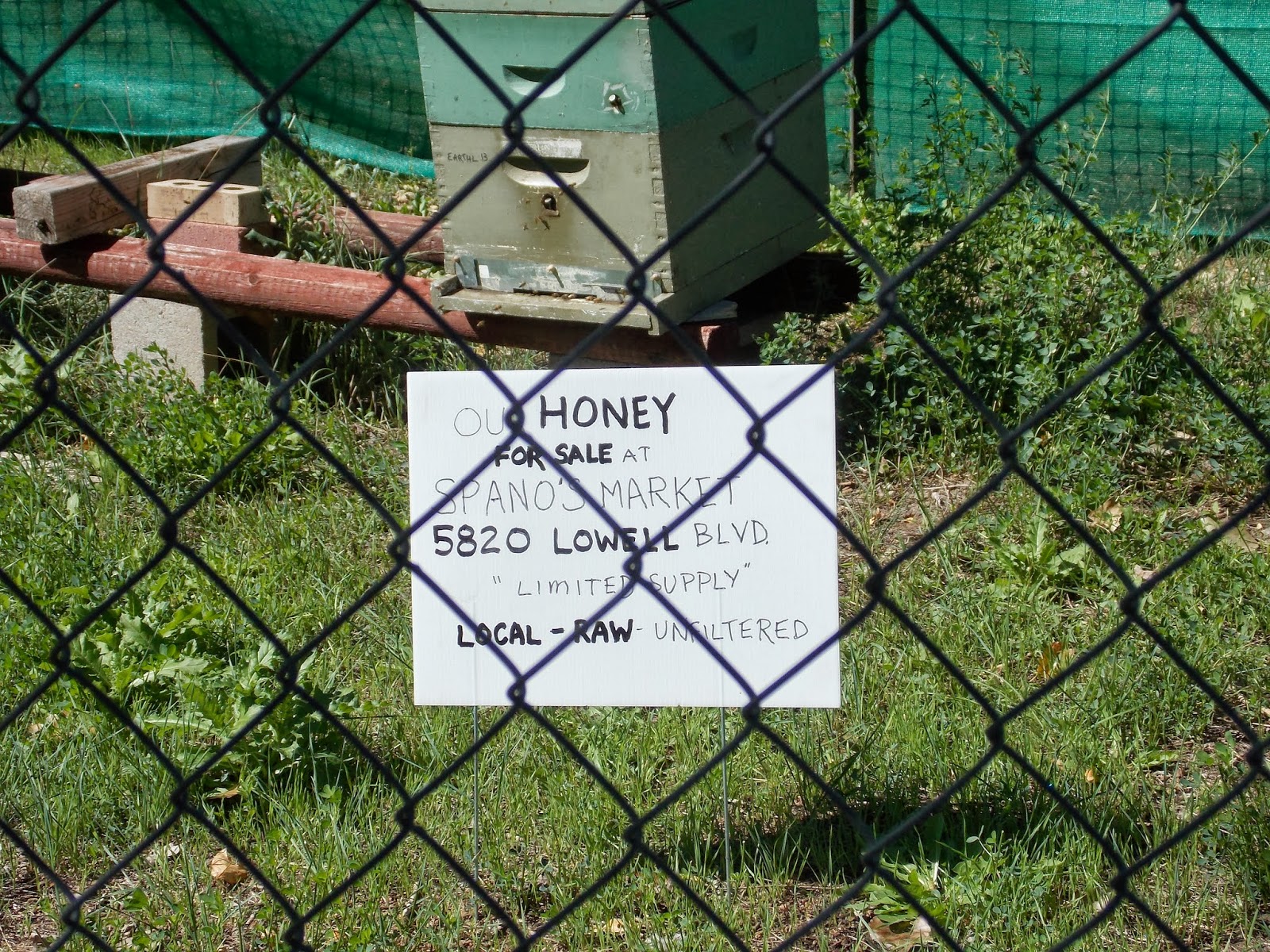
Honey for sale. It's good to buy local.

Clear Creek still raging a week after the floods.

Looking Downstream.

Here we are at Fisher Ditch. It's full, as are all irrigation ditches in Colorado. Recent flooding has even resulted in a release of water into the Highline Canal, which was supposed to remain dry this year. You know those trees are loving all that water on the HLC.
My tree friend Larry used to reside here, next to Fisher Ditch. You can hardly see him now.

There he is. We used to hang out some back in the day.


I see Larry is providing a home for some local fungi. Well that's the cycle of life my friends.

High water left some stuff behind.

There it is, the magnificent Ralston Creek Bridge.

Wow, I saw this and figured they put up new signs.

Maybe one side of the sign is new but not the other side.

The coolest bike & pedestrian bridge ever.

It was June 22, 1850 when Lewis Ralston discovered gold right about here. He pulled out a quarter ounce of gold, worth about $5. He then moved on to the gold fields of California.
I see prospectors on Clear Creek often but not on Ralston Creek. Why?
From Wikipedia:
In 2010 officials discovered that the defunct Schwartzwalder uranium mine was contaminating groundwater near the reservoir, threatening the Denver water supply with concentrations of uranium some 1000 times the human health standard. The proposed cleanup involves rerouting Ralston Creek.
I saw the trail was closed and I wanted to see why.


Even after getting back on the trail there were still some impassable sections. Colorado treats it's bike paths very well. But this recent storm has wiped out many auto bridges and auto roads I wouldn't expect some of the more serious bicycle problems to get solved soon.
There's Ralston Creek.


Several times along Ralston Creek you follow the signs on roads. It's well signed and easy to follow.
There's the trail!

This tree snapped and died instantly. The others merely toppled and were killed by chainsaws.,


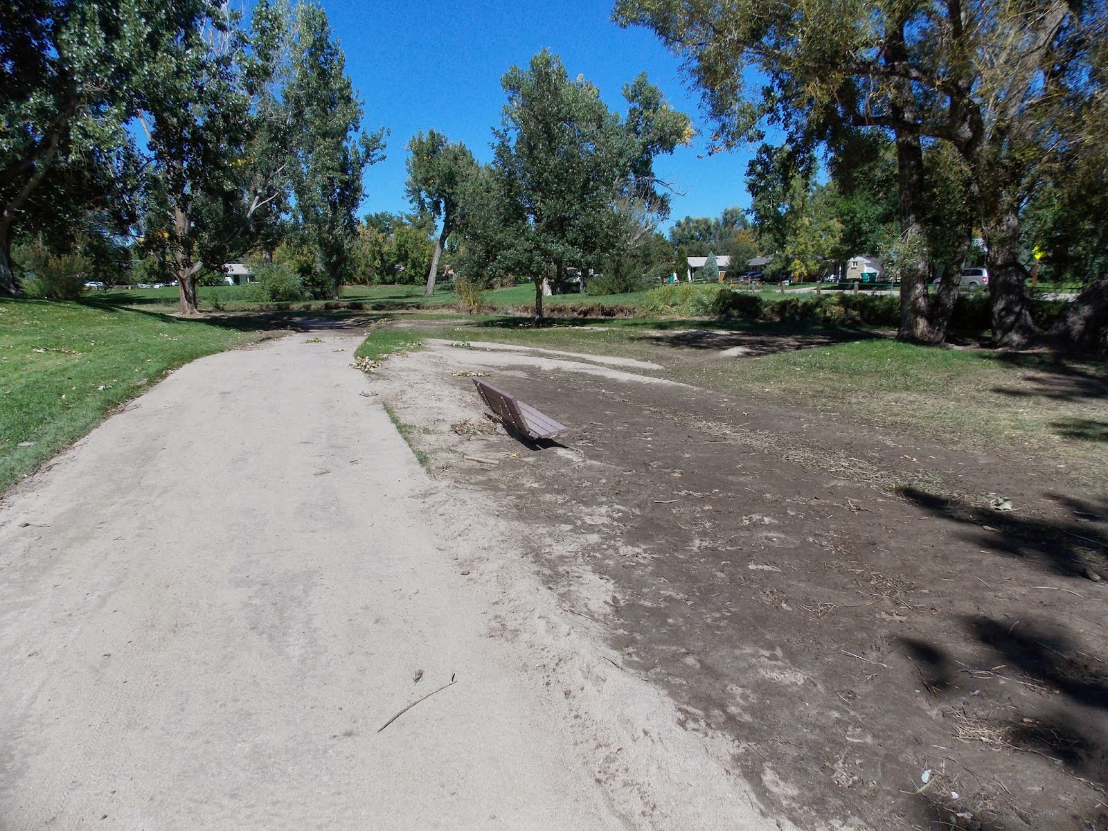
Picnic table with flotsam & jetsam. I'm surprised it didn't wash away.

I just said the bike paths would be low priority for repair but here's two railings that have been replaced in the last week. YAY! Colorado cares.

Follow the signs through certain neighborhoods


You can see the flattened grass from when Ralston Creek overflowed it's banks.

There's a normal Ralston, maybe a little swollen.


The Ralston Creek Trail is really nice, park after park.

I went to explore the Leyden Creek Trail. It went on for about a quarter mile and ended in a townhouse development. Bummer. I thought it would be longer.
A trip on Denver's bike paths wouldn't be complete without a Coyote warning.

Leyden Creek being a dead end, a little further up was the Union Street Trail. I explored that.

Starting to see some Fall colors.

Union Street Trail was a steep climb up.

Steep and curvy. I got out my smart phone to see where I was going on google maps. The reason I bought a smart phone was because google maps featured bike trails. That was my "killer app".

I saw I was headed towards Ward Road. I know I can turn left on Ward and catch the Little Dry Creek Trail down but I want to go up Ralston instead. At least I know where both Leyden and Union trails go now. Nowhere.

Back on Ralston I go through a park.

Flattened grass indicates high water mark.
Ralston Creek is a nice ride.


Park after park.

More dead trees.

This tree is leaning dangerously. Only a matter of time before it topples.


More dead trees.

That was one heck of a storm.

Flotsam & Jetsam
I saw a lot of damage as I got farther up.

One bridge out, that's all.


Good ol' Ralston Creek.

BUNNY!


I happened upon the beverage wagon. I had a Fat Tire of course. Almost to the top of the trail a cold one really hit the spot. Did I mention the Ralston Creek trail goes through a golf course?


West 64th where I caught an RTD #52 which took me to Alameda light rail station. I rode home from there. Great trip, about 40 miles.

God bless the RTD, they always get me home.

No comments:
Post a Comment