Since I started this blog in 2008 I have been putting off the complete Highline Canal Trail.
Why? Cause it's so friggin' long and kind of monotonous at times. Still it is the Granddaddy trail of Denver and to omit it would be a crime.
Did I ride the whole thing? Not quite. The HLCT starts at the end of Waterton Canyon upstream from Chatfield Reservoir. Then it flows through Chatfield State Park and then onto private property meaning you can't ride the complete trail. I checked my maps and decided I would catch it when it crosses Santa Fe (US 85) about a mile South of C470.
FROM WIKIPEDIA:
The canal runs through private property from mile 8.9 to 9.3, and there is no maintained trail access between there and the bridge at mile 9.9.
I took the light rail to the Mineral St. Station and was supposed to catch RTD bus #402L but I would have to wait 30 minutes to catch it so I rode towards Chatfield State Park.
 Off the train, over the bridge and downhill to the Platte River Trail.
 You pass the 7-11, last chance air and snacks before you hit the trail.
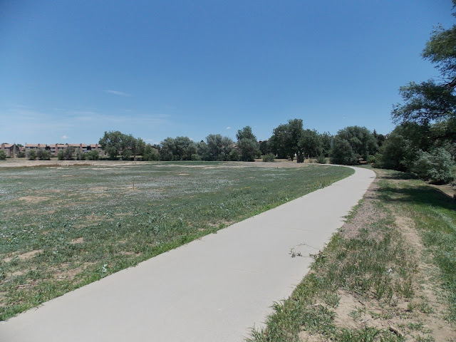
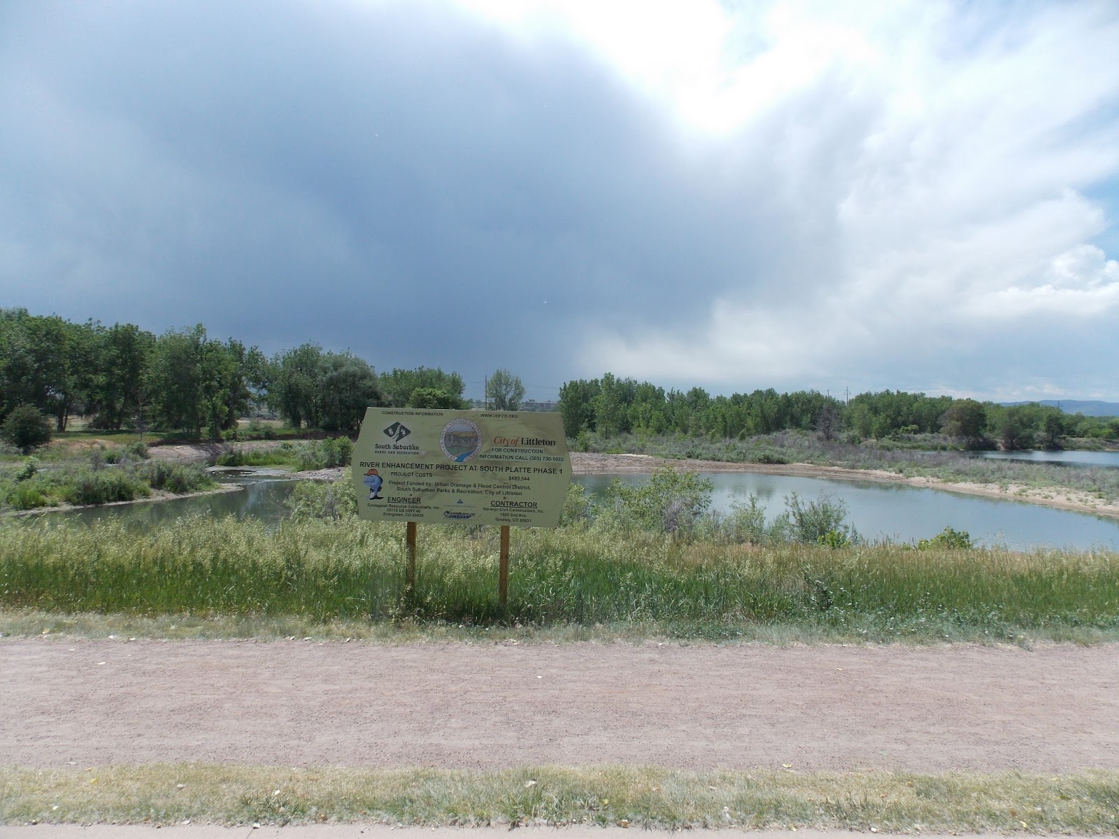
 Platte River restoration project.
 Right after you enter Chatfield State Park prepare to turn East on the C470 Trail.
 Looks like the path to Chatfield Dam is closed but we're going the other way.
 Here is where the C470 trail meets Santa Fe.
 Then you ride maybe a mile or so up Santa Fe to reach the HLCT.
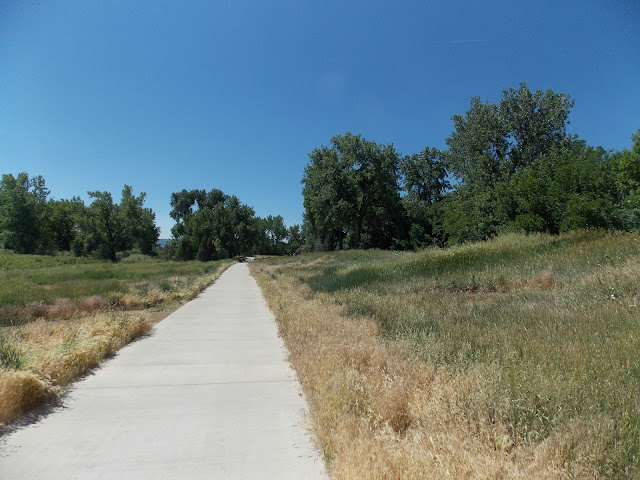
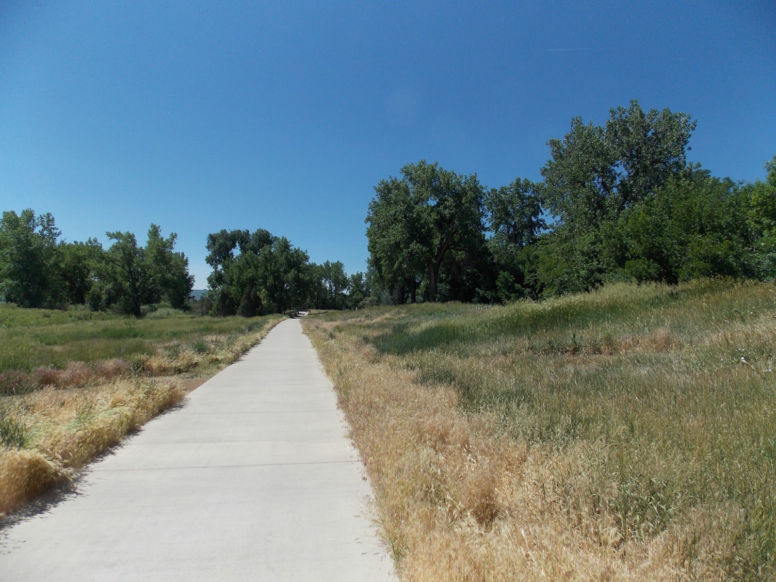
This is looking East at Santa Fe. I made it in less than 30 minutes meaning I'd still be waiting for that 402L back at the light rail station. If I'd taken the 402L it would have dropped me off just South of here six minutes after picking me up. So I saved maybe ten minutes. Rather ride than wait.
 Here's the view looking West. That's where we're headed. Unfortunately the Canal was dry today.
FROM WIKIPEDIA:
The company originally intended to place about 50,000 acres under cultivation,[3] but it had difficulty securing sufficient water because earlier ditches held irrigation rights based on prior claims. Court cases regarding water rights dragged on for years. Because the High Line Canal's water rights were junior to 74 other canals in the South Platte watershed,[3] it was frequently dry. Although the agricultural development that the HLC was meant to spawn never fully materialized, the canal nevertheless nourished the growth of both Denver and its eastern suburb, Aurora. In 1924, Denver Water took over the canal.
The HLC was designed to carry nearly three-quarters of a billion gallons of water per day, but actually averages only 71 million gallons. The canal today has a water capacity of 600 cu ft/s (17 m3/s).[1] When the Rocky Mountain Arsenal was built in 1942, a lateral was built off the HLC (at about mile 64) in order to supply water to the chemical weapons manufacturing center, and until about 2008, the Rocky Mountain Arsenal National Wildlife Refuge was the furthest-downstream customer that was still taking water delivery via the HLC. However, the canal does not provide a very efficient method of delivering water; Denver Water estimates 60-80% of water in the canal is lost to seepage and/or evaporation.[1] As a result, the Arsenal is now provided with recycled water instead of canal water, and as of 2011, the HLC's last customer is Fairmount Cemetery (at about mile 48). However, Denver Water still occasionally sends water further downstream, in order to water the trees that line the canal's bank. Denver Water has vacated the HLC downstream from mile 66.3 in Green Valley Ranch, and today there is very little visible evidence of the additional five miles that historically extended beyond that point.
 Here is a flume that carries the HLC over a stream
 The HLCT goes by many Golf courses.
 Most street crossings are below grade. Nice.
 I saw this little off shoot trail.
 The two trails rejoin here. Hmmm, a new park. That's really nice.
 The park includes an old homestead.
 A closer view.
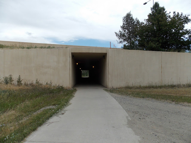
 Another tunnel. This one under C470.
 There are more below grade than above grade crossings.
 The brown mile markers are accurate although since I started at about mile 11 at Santa Fe, it was off by a bit. 15 minus 11 equals 4.
 A trail as old as the HLCT passes a lot of beautiful old trees.
 Some interesting relics.
 This tree met a sudden violent end.
 There's an old bridge.
 I stopped for lunch on this grassy knoll.
 Another flume to carry the HLC over a stream.
 If you take the concrete path to the right you'll go up the C470 Trail. Go left to stay on the HLCT.


 Follow the signs.
 Soon you rejoin the trail.
 You travel through Eisenhower Park. Named after Mamie, not Dwight. Mamie Eisenhower was from Denver and while President, Ike and Mamie would spend a lot of time In Denver.
 Tennis courts..
 Swimming pool..
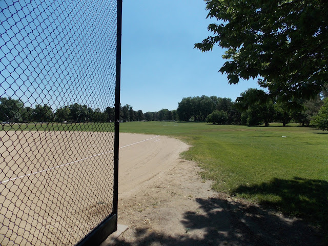
 Ball fields..
This is where Denver Judge Larry Manzanares committed suicide after getting charged with stealing a lap top in 2007.
Too bad, from what I read he was a good public servant. He made just one mistake.
Suicide is never the answer my friends.

 If you look closely you can see I-25 in the distance on the left and two county workers discussing where to eat lunch on the right.
 Street crossing.
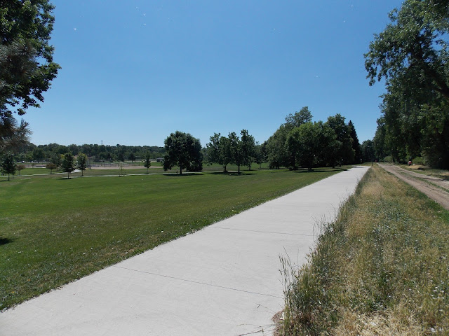
 More parks along the way.
 The trail was not crowded at all.
 Ride the dirt or concrete. I stuck to the paved path mostly.
 There were some real pretty views.
 A new bridge..
 OK, now I'm on familiar ground again.
When I lived in Lone Tree I took the HLCT as far as Lee Gulch, then down Lee Gulch to the Platte River Trail to Denver.
When I lived in Aurora I used to ride the HLCT to here then take the Cherry Creek Trail to Denver.
From Lee Gulch to here was all new. It was pretty fun too.
 There's Cherry Creek. At least I saw some water today.
 And we're off to complete the last leg of the High Line Canal Trail. YAY!
 The water from the HLC would normally go below Cherry Creek and come up here but it's dry right now.
 Another Golf Course.
 Below Grade crossing.
 Riding along the HLCT.
 Mississippi and Colorado.
 Looking down Colorado Blvd towards Denver. Rocky Mountains in the distance. HLCT on the right.
 There it is...
 Then you go by Fairmount Cemetery. I stopped under a tree for some water and a Clif Bar. Back in the day families would have picnics at Fairmount.
 Sunrise to Sunset? I thought the best times in a Cemetery were after midnight......
 Big trees provide shade almost the whole way.
 Havana & Exposition.

 Trail keeps on going along. Not much farther now.
 This is a cool sign...
 Saw a bird..
 This is a head gate. It would be used to control the flow of water from the canal to a "shareholders" land for irrigation. The HLC was designed to carry 750 million gallons a day but averages only 71 million. There are 74 other ditches and canals with superior water rights so the HLC is frequently dry. When it is full these head gates allocate water to it's customers.
 Tunnel under Chambers. Almost to the end now.
 Unique round barn.
 Here's the cutoff for the Tollgate Creek Trail. I used to ride it when I lived out this way. The trail is a few miles long and it peters out after a while. I should ride it again to see if there is anything new.
 That is Tollgate Creek. Yes the same Tollgate that merges with Sand Creek a mile or two North of here.
 the HLCT takes a lot of loops.
"The "high line principle" calls for a canal to follow the contours of the terrain, with a minimal drop in elevation per mile along its course. (so that neither pumping nor electricity is required for transporting the water). As a result, High Line canals typically have many twists and turns as they maintain elevation by traversing natural valleys first in an upstream direction, then back down the opposite side, then around dividing ridges, and so on" (Wikipedia)
 Apartments in Aurora.
 Street crossing.
 There's the Hinkley High School football stadium.
 Here we see more horse pastures. They stretch all the way to the end.

 Crossing Colfax.
 Between Colfax and Laredo. I used to live right up there on Laredo.
 Past Laredo Street, into the home stretch now. It's been a while since I toured the old neighborhood.
 Going by the park I used to chill in.
 Mile marker 59. Since I started at mile 11 that's 48 miles for me. Four left.
 Good ol' open space. Just there for the critters to use and us to admire. What a great deal. Thanks lottery losers.
 Approaching Airport Road near Colfax.
 Just after crossing Airport Road. This used to be dirt, now it's paved.
 Crossing back over Colfax. The end is near.
 Ohh, this used to be dirt too. Fancy Shmancy concrete.
 Springhill, the last golf course. This is where the HLC ends really. If it had water in it it would go over a waterfall and underground (to rocky flats) just past here. The canal itself continues for another 5 miles (I've ridden it) but it is little more than a dry ditch and water never goes up that far anymore.
 Denver Water does send water down the canal to keep the trees healthy although I called them to ask when the next release would be and was told they would not be releasing any water in 2013. They say they're using other methods to water the trees. We'll see.
This is where the path diverges from the canal. It leads past Springhill Golf Course to Environmental Park.
 I made it to the end of the golf course, about a mile short of Environmental Park. Hey, I was tired. That was a long ride.
 On the way back I saw a bunny. Actually I saw dozens but most scampered away as I fumbled with my camera.

I rode the short distance back to Colfax then turned left and rode 300 feet to the Conoco, got some snacks and went to the N.W. corner of Colfax & Airport Road and caught an RTD 15L back to Denver.

A great ride, a long ride. I liked second half better, Hampden to Colfax. That was mostly paved. The first 25 miles, Santa Fe to Hampden was mostly dirt. Dirt is harder to ride.
Of course the HLCT is a four star ride. There is a lot to see and countless parks along the way.
Why? Cause it's so friggin' long and kind of monotonous at times. Still it is the Granddaddy trail of Denver and to omit it would be a crime.
Did I ride the whole thing? Not quite. The HLCT starts at the end of Waterton Canyon upstream from Chatfield Reservoir. Then it flows through Chatfield State Park and then onto private property meaning you can't ride the complete trail. I checked my maps and decided I would catch it when it crosses Santa Fe (US 85) about a mile South of C470.
FROM WIKIPEDIA:
The canal runs through private property from mile 8.9 to 9.3, and there is no maintained trail access between there and the bridge at mile 9.9.
I took the light rail to the Mineral St. Station and was supposed to catch RTD bus #402L but I would have to wait 30 minutes to catch it so I rode towards Chatfield State Park.


This is looking East at Santa Fe. I made it in less than 30 minutes meaning I'd still be waiting for that 402L back at the light rail station. If I'd taken the 402L it would have dropped me off just South of here six minutes after picking me up. So I saved maybe ten minutes. Rather ride than wait.

FROM WIKIPEDIA:
The company originally intended to place about 50,000 acres under cultivation,[3] but it had difficulty securing sufficient water because earlier ditches held irrigation rights based on prior claims. Court cases regarding water rights dragged on for years. Because the High Line Canal's water rights were junior to 74 other canals in the South Platte watershed,[3] it was frequently dry. Although the agricultural development that the HLC was meant to spawn never fully materialized, the canal nevertheless nourished the growth of both Denver and its eastern suburb, Aurora. In 1924, Denver Water took over the canal.
The HLC was designed to carry nearly three-quarters of a billion gallons of water per day, but actually averages only 71 million gallons. The canal today has a water capacity of 600 cu ft/s (17 m3/s).[1] When the Rocky Mountain Arsenal was built in 1942, a lateral was built off the HLC (at about mile 64) in order to supply water to the chemical weapons manufacturing center, and until about 2008, the Rocky Mountain Arsenal National Wildlife Refuge was the furthest-downstream customer that was still taking water delivery via the HLC. However, the canal does not provide a very efficient method of delivering water; Denver Water estimates 60-80% of water in the canal is lost to seepage and/or evaporation.[1] As a result, the Arsenal is now provided with recycled water instead of canal water, and as of 2011, the HLC's last customer is Fairmount Cemetery (at about mile 48). However, Denver Water still occasionally sends water further downstream, in order to water the trees that line the canal's bank. Denver Water has vacated the HLC downstream from mile 66.3 in Green Valley Ranch, and today there is very little visible evidence of the additional five miles that historically extended beyond that point.


Too bad the canal is dry. It's really nice when there's water in it.

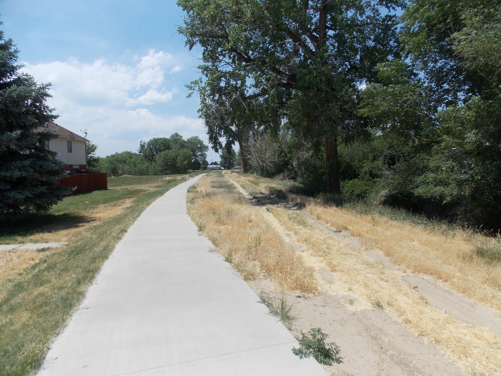
Here we are at Peninsula & Mineral. There's a park here.

There are some old style white bridges along this stretch.

Quaint old barn.

There were a couple of trucks trimming trees


Then on down the trail. The traffic was light and included joggers, horses and bikes.

That trail on the left is Lee Gulch. I usually take that down to the Platte and on into Denver. So from here to the Cherry Creek crossing this will be new to me.

Bye Lee Gulch Trail, hello unknown.

Some street level crossings along here.

Radio Towers and baseball fields.

Open Space.

More Ball Fields. We are in Greenwood Village. The ten million dollar homes make the one million dollar homes look like crap. Everything is relative I suppose.

A small stream.

Large park with new picnic area.

Almost all the homes I passed in Greenwood Village and Cherry Hills Village have horse pastures. In Colorado you can build a 10,000,000 home and if you keep "livestock" (could be horses or even goats or sheep) your land and building will be taxed as agricultural land. Some of these multi million dollar home owners probably pay less property tax than I do on my modest abode.

Greenwood Village. A really nice neighborhood.

Englewood's water supply.

Afore mentioned pasture land.

Another cool old building.

Cherry Hills Village. Another nice neighborhood.

Crossing button for people on foot or bike, and one higher up for folks on horses.

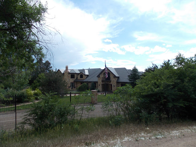
There are many impressive homes along this trail. I didn't take many pictures but here's one. Too bad most of it is obscured.

Just before Hampden the trail leaves the Highline Canal for a few blocks.

Ride along the sidewalk for just a bit on Colorado Blvd.


This is where Denver Judge Larry Manzanares committed suicide after getting charged with stealing a lap top in 2007.
Too bad, from what I read he was a good public servant. He made just one mistake.
Suicide is never the answer my friends.


When I lived in Lone Tree I took the HLCT as far as Lee Gulch, then down Lee Gulch to the Platte River Trail to Denver.
When I lived in Aurora I used to ride the HLCT to here then take the Cherry Creek Trail to Denver.
From Lee Gulch to here was all new. It was pretty fun too.


"The "high line principle" calls for a canal to follow the contours of the terrain, with a minimal drop in elevation per mile along its course. (so that neither pumping nor electricity is required for transporting the water). As a result, High Line canals typically have many twists and turns as they maintain elevation by traversing natural valleys first in an upstream direction, then back down the opposite side, then around dividing ridges, and so on" (Wikipedia)


This is where the path diverges from the canal. It leads past Springhill Golf Course to Environmental Park.


I rode the short distance back to Colfax then turned left and rode 300 feet to the Conoco, got some snacks and went to the N.W. corner of Colfax & Airport Road and caught an RTD 15L back to Denver.

A great ride, a long ride. I liked second half better, Hampden to Colfax. That was mostly paved. The first 25 miles, Santa Fe to Hampden was mostly dirt. Dirt is harder to ride.
Of course the HLCT is a four star ride. There is a lot to see and countless parks along the way.
No comments:
Post a Comment