I rode Bear Creek today. I took the RTD #21 out to the drop zone. I was surprised when it veered from the route I'd remembered and when it got to the Gvt. Center light rail stop I grabbed a schedule with a map and the driver asked if I had missed my stop. I studied the map for a second and told him I wanted off at W Yale and Bear Creek Blvd. He said "Oh we don't go there anymore, but on the way back I'll drop you at Green Mountain High School and you can glide to Morrison Road, which is the road pictured below.
So taking the #21 you should exit at Green Mountain High School (Green Mountain Drive and Alameda)
Then head West on Alameda until it turns into Bear Creek Boulevard, the follow it until it hits Morrison Road. All downhill after a short climb.

 Going down Morrison Road you'll see this no parking zone.
 That's where the trail begins.
 Blackbird with red and yellow accents.
 We are entering Bear Creek Park, owned and operated by Lakewood Colorado. It seems like a state park but it's not. Ward ditch is seen in the middle.
 Here we go!
 The heavy rainfall had stopped by now but my tires got caked with mud and I had to ride with my mouth closed, lest a chunk of mud fly into it.
 In the distance I see two folks on horses. Totally decked out in rain gear.
 I took the Mt. Carbon Loop Trail that goes all the way around the park. There it is.
 A bench by a creek. Quite excellent, really.
 Picnic tables accessible by trail only, no cars.
 Such a great ride, never crowded.
 Some places bikes and horses can't go.
 Waterfall on Bear Creek.
 Another picnic table under a tree.
 Bridge over Bear Creek. After this we're heading downstream instead of upstream.
 Riding along near the horse corral.
 The group picnic area.
 A very easy single track ride.
 There's a whole network of trails.
 Hmmm, Bear Creek emptied into the lake a while back. This is Turkey Creek and the trail has been following (roughly) the Warrior Canal.
 Turkey Creek.
 Goose Cove is where I stopped for lunch. There were goslings present but I didn't bother them.

So I was eating my lunch by this secluded cove and a big fish jumped out of the water twice in rapid succession. I tried to get my camera ready but was way too slow.


Rain headed towards Denver in the distance. See the rain falling?


Headed down Mt. Carbon.


 It was pretty nice, a couple of hills but nothing too hard,.

 then on through grassland
 When the first river crossing came up I decided it was too swift and wide for me to cross knowing there would be two more to come.

Using my zoom I find a bird home in a 30 foot high tree stump.
 Since I couldn't cross Bear Creek at the horse crossing I'm back on the trail below the dam, heading for the clubhouse.


 Carts on left, bikes on right.
 Map of Bear Creek Lake Park

 last shot of Fox Hollows golf club.
 After the three river crossings I catch up with the Stone House Trail.
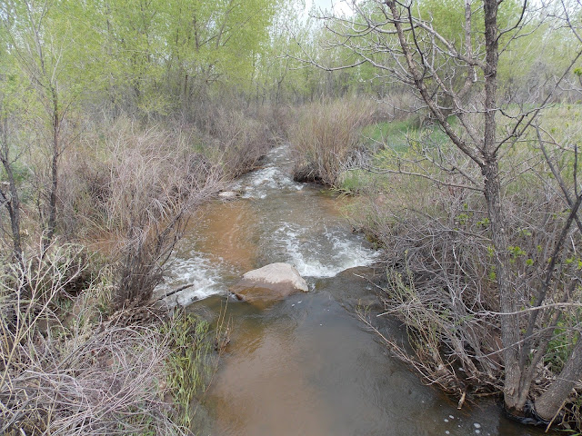
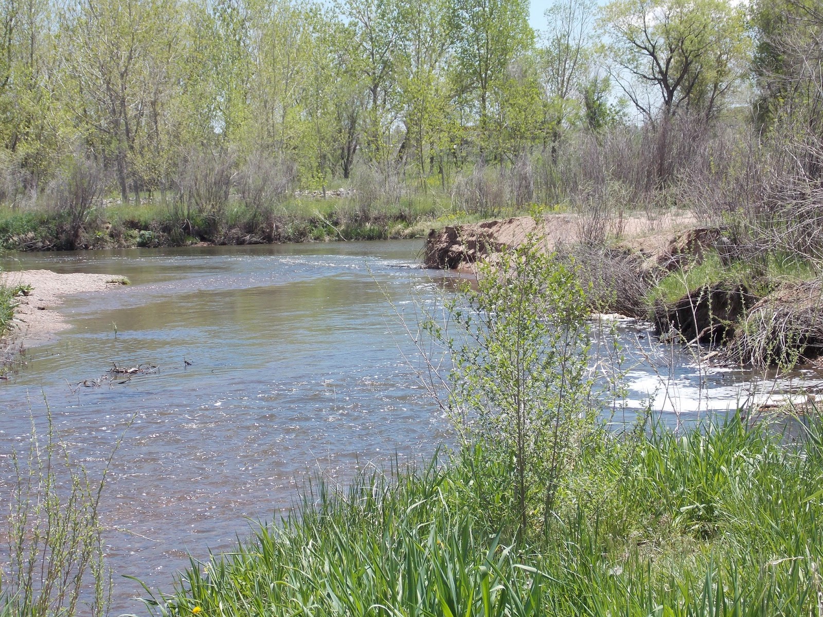
 Bear Creek running high today.


 Next to the Bear Creek. No bears today.
 The much anticipated Stone House. In all it's stonely goodness.
 By now it was raining. Pretty hard too.
 Map of the BCT

Along the dirt of the Bear Creek.
 Construction detour at Wadsworth. Nothing serious.
 After Wadsworth I was soaked to the skin and the temperature was 55 degrees. I used my smartphone to check the next pickup and destination of this bus stop. This ride was over for now.

So I took a bus back home. I caught the same one back the next day to finish the ride. That's the bus stop I was at when I quit yesterday. Today the sun is shining bright. I picked up where I left off.


And that was my ride. Bear Creek Park is awesome and the Bear Creek Trail is a fun ride.
I'm afraid it gets my usual four star rating. Hooray for Bear Creek!
So taking the #21 you should exit at Green Mountain High School (Green Mountain Drive and Alameda)
Then head West on Alameda until it turns into Bear Creek Boulevard, the follow it until it hits Morrison Road. All downhill after a short climb.

Turn right on Morrison Road and head downhill. Today there was scattered rain forecast, it was raining hard from the time I got off the bus until about the time I entered Bear Creek Park.


So I was eating my lunch by this secluded cove and a big fish jumped out of the water twice in rapid succession. I tried to get my camera ready but was way too slow.

I waited about 5 minutes with camera ready but he didn't reappear. Then I resumed eating and he jumped again twice, all the way out of the water. He was about a foot long and pretty good size girth. Very impressive.

There's Mt. Carbon in the distance. That's our next stop.

Coyote Country. They will follow their natural instincts. Leave your little yapper dog at home.

Mt. Carbon Loop Trail.

Prairie Dog colony.

There's a close up.

Trail winds along.

Horses and riders.

Near Mt. Carbon I cut onto the Fisherman's Trail. It goes right by the lake.

This trail.

Winds through the trees near the water.

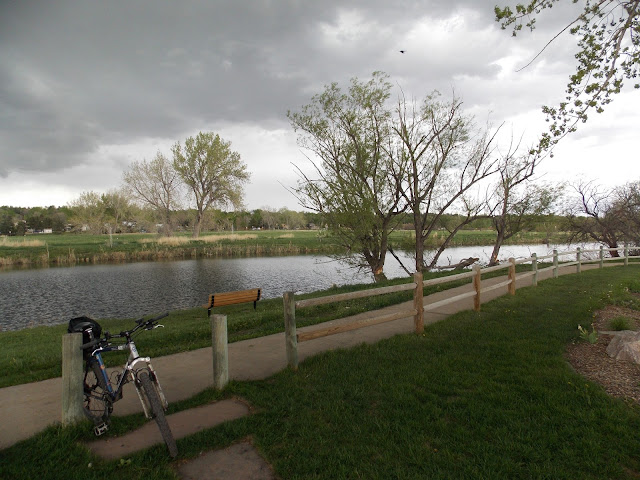
My last stop next to the lake. Rain clouds threatening.

You can see the dam in the distance. Bear Creek dam is strictly flood control, with recreational activities as a side benefit. They make the most of it too. Hats off to Lakewood!

Here Fisherman's Trail ends at the base of the dam.

Turn and head up the old asphalt trail.

The dam is like a giant bowl. If it ever filled up with water that would be something.

I switched to the concrete trail when they crossed.

Asphalt trail foreground, concrete trail winding along in the distance.

The rules of Bear Creek Park.

It was raining pretty good as I climbed the face of the dam. No need to perspire, raindrops kept me comfortable.

There is a restroom and drinking water at the top of Mt. Carbon. It's for the golfers but bikers and hikers are welcome too.

There's a small picnic table at the summit. Mt. Carbon, 5689'

If you look closely you can see the top of Red Rocks Amphitheater in the distance. Red Rocks is one of my happy places.

Another look at the dam. Mt. Carbon is in the middle, the dam extends to the left and right of the mountain.

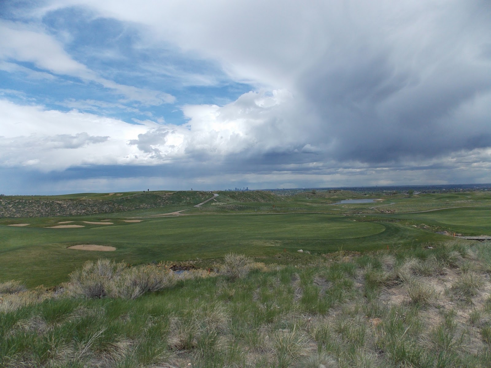
Mt Carbon is a cinder cone. In the crater is part of a golf course. You can see the most excellent city of Denver in the distance.

OK, there's the right side of the dam as seen from Mt. Carbon.

Rain stopped, trail almost dry, on to the BCT!

The golf course in the crater. Fox Hollow is the course.
Pictured below is the low security "Federal Correctional Institution, Englewood" currently home to former Illinois Governor Rod Blagojevich and several other celebrity inmates including Jeffrey Skilling from Enron. Rod's scheduled for release in 2024 and Jeffery is coming out in 2028 although Rod's working on an appeal and Jeff's trying to get his sentence reduced.
According to an article I read, Rod runs a lot on that track. I'll give him a shout out if I ever spot him. Shouldn't be hard to pick out with that hair helmet.

Carts and Bikes share a trail for a bit. Stay on your side!

I had been somewhat successful dodging the rain but it was everywhere. Oh, and we're in an extreme drought so you can't complain. Golfing in a volcanic crater.

Headed down Mt. Carbon.

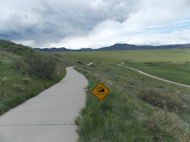
Steep grades, sharp curves. Big fun.


Then I saw this sign. Funny, I'd never seen it before. I didn't know a singletrack went past the lower Fox Run golf course. I saw the three river crossings sign but went ahead to explore anyway.


Top of a hill


Using my zoom I find a bird home in a 30 foot high tree stump.


Once a two lane road is now one car and one bike road. Sweet.

A sign warning bikes to stop ahead. I would have stopped if there had been traffic but there wasn't. They should consider Yield signs. They'd get better compliance.


Bikes yield to everyone.


Single track in the city

Stone House Trail.


So I took a bus back home. I caught the same one back the next day to finish the ride. That's the bus stop I was at when I quit yesterday. Today the sun is shining bright. I picked up where I left off.

This is a new bridge. It takes you on the other side of the creek down a new path. You can still go the old way ahead on the asphalt path. You go by Mojo Wheels, my favorite bike shop and a few restaurants and other stuff but you're riding in an industrial area. New path more better.

Take the new bridge.

New path goes through grass and trees.

It's pretty nice I must say. They have totally improved this stretch.

OK, so eventually you cross back over on another new bridge and you're past all that industrial traffic.

There's a look back at the old path from the new bridge. Yuck.

That's why I love the greater Denver metroplex. It just keeps getting better and better. Here's where we rejoin the original BCT.

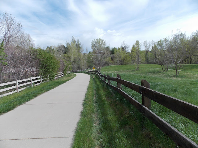
We still go behind some buildings but there is a dedicated bike path.

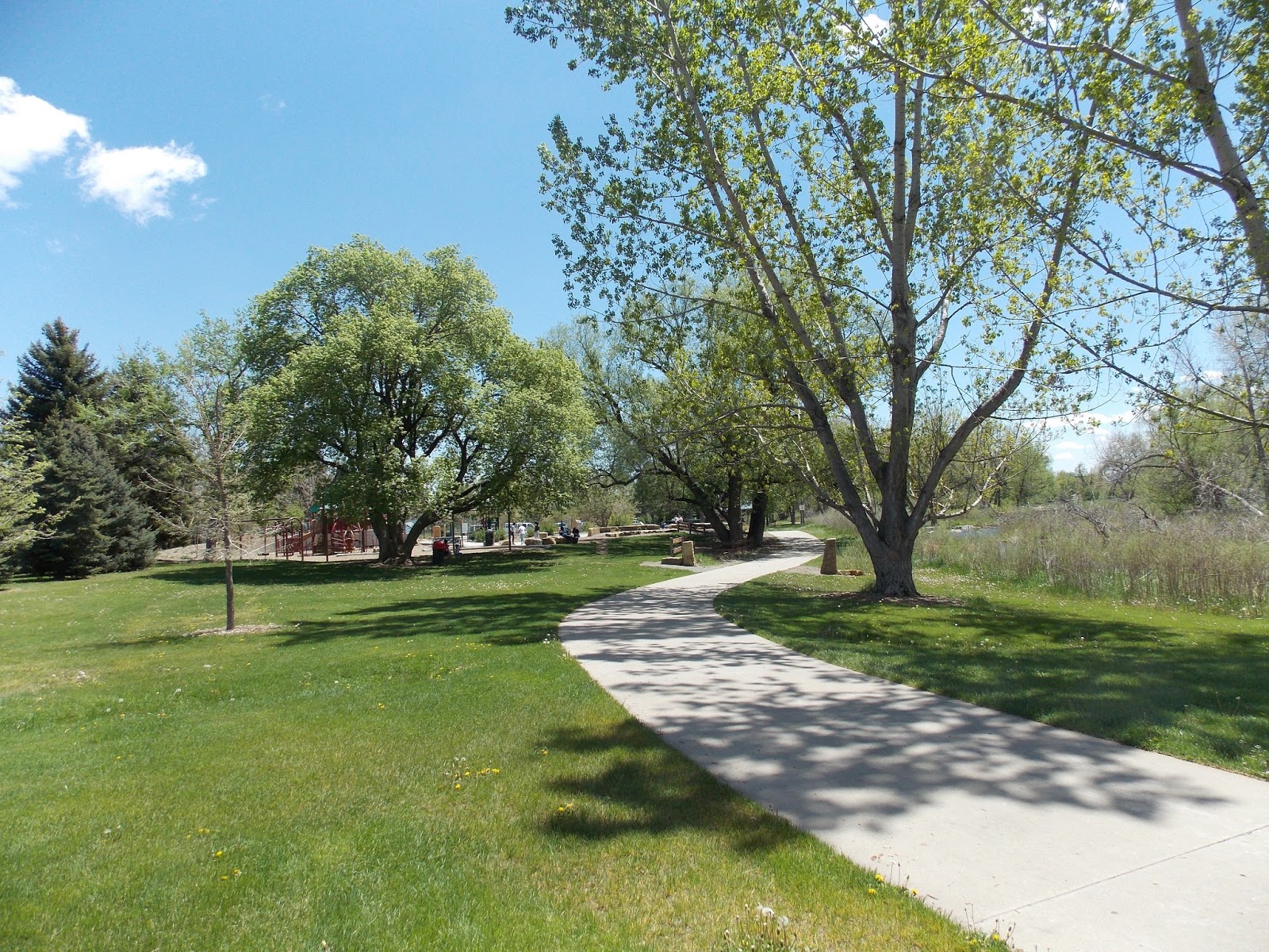
Then you start hitting park after park.
The Bear Creek Trail.

Leaving Denver. Maybe entering Sheridan?

The mighty Bear Creek.

Accident waiting to happen. Someone riding at night will slam into this. If the utility can't move it they should at least put a reflective band around it.

I stopped at this bridge and looked over.

I saw a Muskrat eating vegetation. Here's some pics.


You go by another golf course. Fences designed to keep balls from hitting the trail.


I stopped at the spit at the confluence of Bear Creek and the Platte River.

Bear Creek meets the Platte.
Over the bridge to the megabox mall.

This awesome location has sat empty since it was built five years ago.

Right after River Point at Sheridan there is a tiny detour

You cross at street level and right back on the trail.

Back in Denver again.

There's the power station. In the foreground is a part from an old steam generator.

Bridge over the Platte.

The Platte. Just not that impressive. Still it's my river and I'm proud of her.

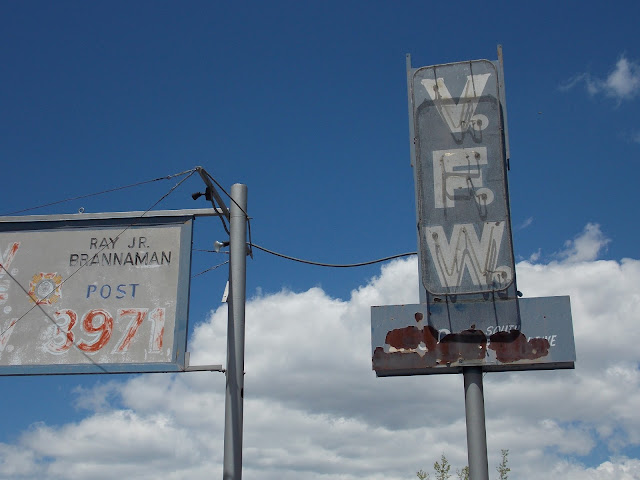
After the bridge is Grant- Frontier Park. In the distance is the VFW post.

VFW stands for Veterans of Foreign Wars. So the people inside went to foreign countries to kill people. Not a fun job. I'm sure it changes you once you experience killing. Inside there is a bar and probably pool, darts and whatever. I've never been inside. I see the curtains are pulled and the steel door has a small window in it so they can see who they're letting in.

Here's a few shots of the VFW Post.


Ray Jr. Brannaman Post 3971

Just after the VFW post I saw road construction. Unrelated to the bike trail.

Ahead on the left, across the Platte, is Ruby Hill Park.
In winter they set up a terrain park for snowboarding as temperatures allow.
Sometimes with free hot chocolate!
See, I told you Denver was excellent.

Nice big tree.

Almost to Denver now.

There is a slab next to the river.


Soon the trail goes along Santa Fe. Almost home now.

Right before I got off at Alameda I saw some geese with goslings.

And that was my ride. Bear Creek Park is awesome and the Bear Creek Trail is a fun ride.
I'm afraid it gets my usual four star rating. Hooray for Bear Creek!
2 comments:
Great post....nice pics too...how long did you spend exploring this day?
Nice blog! I just stumbled upon you.
I just rode this trail yesterday, and it actually extends beyond Bear Creek Park all the way through Morrison. It ends in a little picnic ground just a little ways beyond the town. You can also hop on the C470 trail just east of Morrison.
I'm not familiar with any of those dirt trails (I'm on a road bike) but we were on paved path the entire way. We rode at a leisurely pace and it took about 3.5 hours round trip from Ruby Hill.
Post a Comment