
Let me start by saying it's been a while since I took a good ride. I took one on Monday. I took an RTD #31 North on Federal Avenue to W 67th where I could access the Little Dry Creek Trail.
 Then ride to W68th, go between the concrete barriers and head down this hill to the trail.
  Here's the Little Dry Creek Trail looking West. Just beyond the trail is the Burlington Northern right of way.
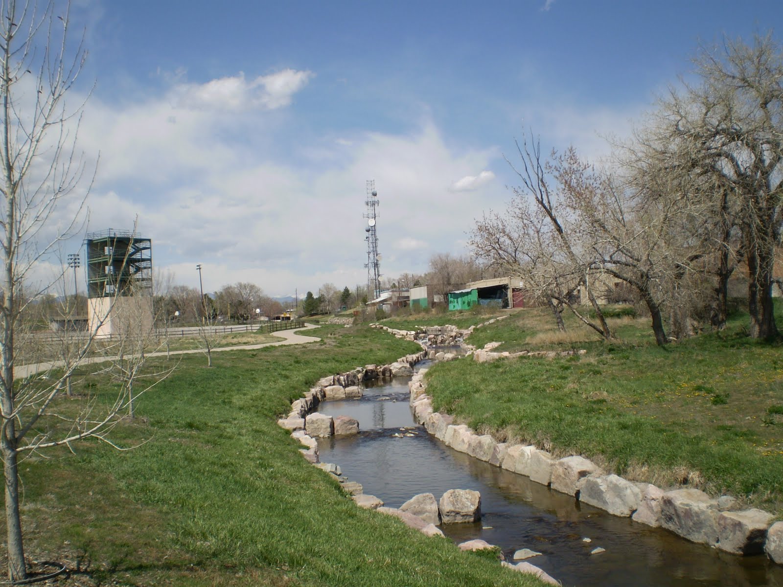 There's Little Dry, all neat and tidy with it's stone lining.
 Here we are near downtown Westminster. In case of flash flood there are steps built into the concrete to climb out.
 The trail is old but well maintained and in pretty good shape. Some signs have "you are here" maps.
  Here's a tributary to Lil Dry. My GPS didn't know it.
 Here's where you make a tricky maneuver. Notice the UPS collection box. It is rare to see one on a bike path. It used to be a DHL box. Now the map on the signpost tells you to turn left. It's quicker if you turn right on Vance, right here, go to W 80th then turn left (West) and go a few blocks to Allison way.
  Here's the view coming up W 80th to Allison Way. Turn right and cross the street, the trail resumes right there.
  The trail kinda meanders along. There are water features along the way.
 There was a lot of purple that day. I'm not sure but I think that's Heather. Sure was pretty.
 This is in a park along the way. At the top of the stairs there are benches and picnic tables. It's mid April and things are starting to turn green again. Hooray for Spring!
 There's Lil' Dry in a more natural setting. It would be a good meditation spot except it's right next to Kipling Street and there's a bunch of apartment buildings near by. So maybe not so tranquil but very beautiful.
 Almost all crossings are at street level so keep your wits about you. There's the entrance to Lakecrest Park in the city of Arvada.
 After Lakecrest Park the trail crosses a bridge. It goes over Farmers Highline Canal and Croke Canal. Croke was dry this day bur Farmers was full.
 Farmers Highline Canal on the left, Croke Canal on the right. The singletrack down the middle is the Farmers Highline Canal trail.
  After the bridge you enter a subdivision and ride on streets for a bit. Watch for the signs.
 Here the trail goes between two houses. There are a few segments like this.
  Then we come to another park, Michael Northey.
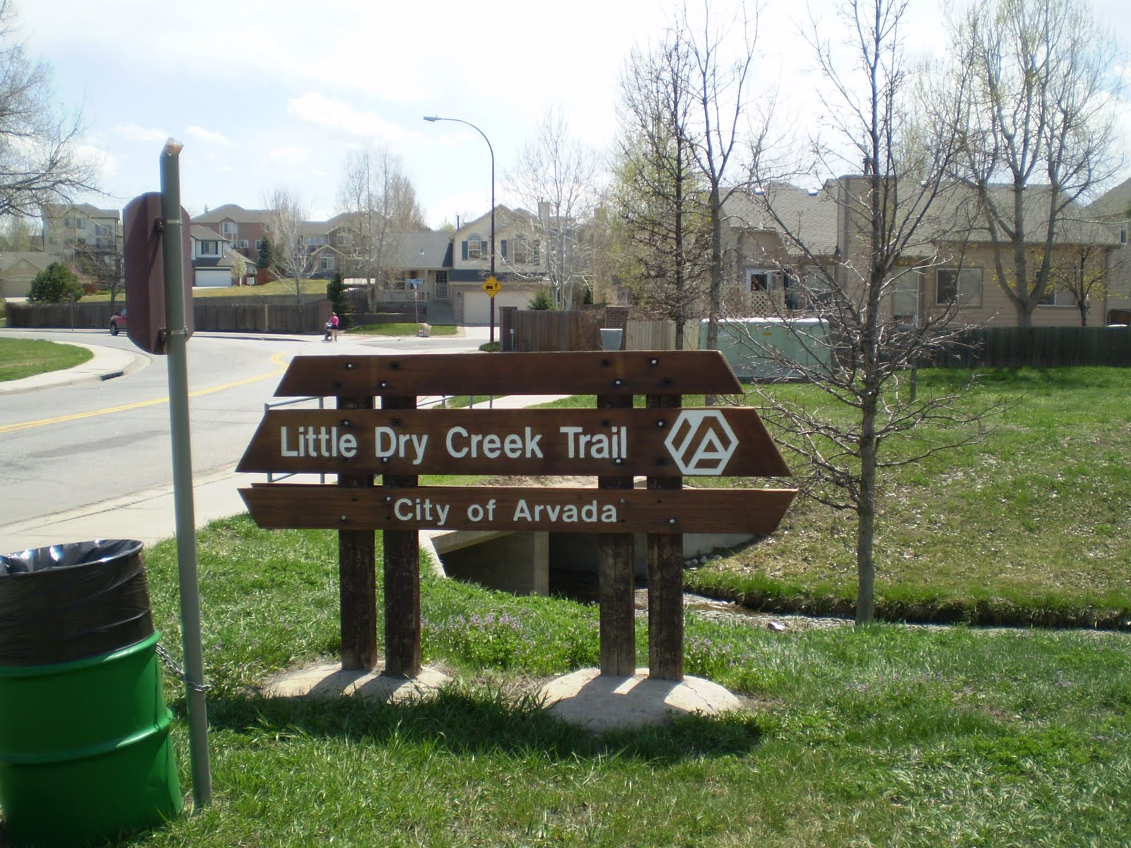 Good ol' Little Dry Creek
 This the upper part, right before you hit Alkire Street.
 This is Alkire and W 86th Parkway. I studied PDF maps of bike trails and it looked like I could go up Little Dry, go a few blocks North to W 88th and catch a parallel path East. I rode to W 88th and turned right. Dirt road, no mention of a trail. I rode forth anyway, to explore the alleged path. I was 3/4 of a mile in when an old dude crossed my path. I'm talking 75 - 80 years old. Anyway I asked him if this was the 88th St. trail and he knew nothing of such a trail. In fact, he pointed out that from the spot I was to the gate where the public trail started I had to cross about 150 feet of private road. Having come all that way I shot the gap. I wouldn't recommend that route because it's private property.
 That being said this is what's on the public side of the gate. Standley Lake has a lot of singletrack.
 That is a majestic tree. Dormant now but will be pure green in 60 days. You can see the singletrack in the foreground and the lake in the background.
 This singletrack is next to good ol' Church Ditch. Dry right now but full of water soon. Spring runoff is coming. When settlers came here there were no trees. Every tree you see around here was planted and cared for by someone.
 This is a shot from the picnic shelter at the high point of the trail along Standley. The high point on the South side. Now we're going to ride down the South side and back up the North side.
  I rode along W86th Parkway into W88th Avenue and turned left at the Wadsworh Parkway Trail. Take this trail to the Big Dry Creek Trail. Once I found it I decided to ride up the trail to Standley Lake.
 Here the trail starts to climb up the dam.
 This is halfway up. You can see the runoff area has been sculpted for maximum flow.
 This is from the North side of the lake, looking towards the South side.
  Going down Big Dry Creek.
 Under Wadsworth.
 Follow the road in this spot.
 Big Dry Creek trail is well marked.
 There are a lot of spur trails, more study is in order.
 Here's a shot of the Farmers Highline Canal trail intersecting the Big Dry Creek trail.
  Here's the type of wildlife you might encounter on the Big Dry Creek Trail. It's big on wetlands.
This was my first ride on the Big Dry Creek. The trail surface ranged from concrete to asphalt to dirt. Lots of dirt. Eventually the trail passes under I-25 near W 128th North of Denver. At that point you reach a golf course. End of trail. Well, actually the trail turns right (South). Ride it to W 128th. Turn left (East) and go to Washington Street. Turn Right (South) on Washington and go 8 blocks to W 120th. There you will find a bus stop where you can catch an RTD #7 Southbound back to Denver. They run about every half hour.
RTD has a new feature, every bus stop has a 5 digit number located on the sign. You can dial a number, enter the 5 digit number and an automated voice tells you when the next three buses stop at that stop. Way cool.
Dial 303-299-6000 options 1,1
Program that into your cell and attain infinite bus consciousness. What a country.
Little Dry Creek to Big Dry Creek is a great ride. Big Dry was longer than I'd anticipated, next time I'll bring more power bars. Definitely a 4 star ride.
No comments:
Post a Comment